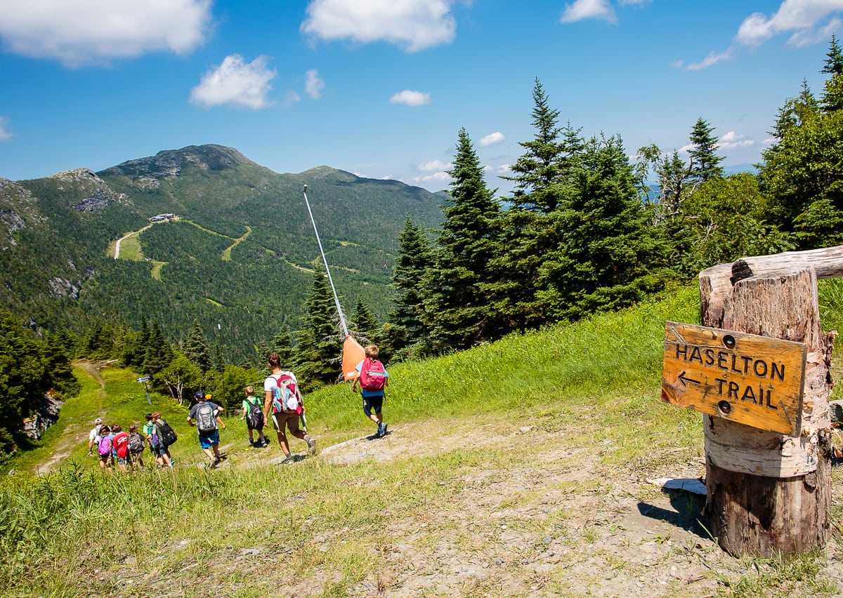
Stowe-Area Hiking: Mt. Mansfield Traverse via Haselton Trail & The Long Trail
Hike Details
- Skill Level: Expert
- View Trail Map
- Type: Full-day hike
- Distance: 5.8 miles
- Time: 6.0 hours
- Climb: 2,700’
- Trailhead Location: 5781 Mountain Rd, Stowe, VT 05672. From Stowe’s Historic Village, take Route 108 north 7 miles to the Stowe Mountain Resort. As you enter, take the second right and head to the upper Gondola parking lot near the Midway Base Lodge. If you walk along the right side of the Midway base lodge, a rough footpath can be seen heading up the ski hill towards a wooded area with a trail sign for the Haselton Trail.
About the Hike
The Mt. Mansfield Traverse an incredibly scenic, full-day adventure leading hikers up Stowe Mountain Resort’s Haselton Trail (moderate difficulty) to the top of the Mansfield Nose, across the Mansfield Ridgeline to Manfield’s Chin which the highest point in Vermont, and down the Long Trail into Smugglers’ Notch. This long and challenging hike offers endless 360-degree views of the majestic Green Mountains, and even offers challenging detours for adrenaline seekers.
The hike up Haselton Trail is a moderate climb that leads hikers along a stream as it ascends through thick forest and open ski trails with fantastic views. The trail has a few steep sections and rocky areas which can be slippery when wet, and requires rock scrambling near the top. For this reason the trail is not recommended for descent. The 1.6 mile-long Haselton Trail is well marked, and ends at the resort’s Auto Toll Road, leading uphill a half-mile to the first intersection in the road. At this point in this hike, there are a few trail options to choose from depending on preference for trail difficulty and views: The Long Trail, Cliff Trail and Subway.
Cliff Trail to Chin, 1.6 miles (Expert Difficulty)
One of the most difficult hikes on Mount Mansfield, Cliff Trail requires traversing steep rock faces, climbing ladders, squeezing through a tight rock cave, and crossing deep crevices by utilizing metal grips, all the while exposed to the elements on the edge of a cliff. This trail should only be attempted by expert hikers with advanced climbing experience. Slips and falls in on this trail can be fatal or cause serious injury. To access this trail, take a right onto the WCAX-TV road, an immediate right onto the Amherst Trail, and another right soon after onto Cliff Trail. After 1.1 miles, Cliff Trail reconnects to the Long Trail 0.5 miles before reaching the Chin.
The Long Trail to Chin, 1.2 miles (Moderate Difficulty)
For a slightly easier route to the Chin, continue up the Auto Toll Road to the top parking area to find trail access for the Long Trail, and begin heading North towards the Chin. This section of the trail features full 360-degree views of the mountains as it crosses the Upper Lip and Lower Lip to the Chin. Hikers will navigate rocky ascents and descents as they cross the Mansfield Ridgeline.
Subway to Chin, 1.3 miles (Expert Difficulty)
Subway is another challenging trail option that runs parallel to the Long Trail ridgeline traverse, accessed via a left-hand turn off the Long Trail. While similar in difficulty to Cliff Trail (experts only), this trail is not on as steep of a cliff edge as Cliff Trail, and features views of Lake Champlain and New York.
After hiking along the Mansfield Ridgeline, you will reach the Chin, the tallest point in Vermont. Celebrate with your group, take photos, and relax before beginning your descent. Proceed either to the Long Trail North 0.3 miles or reverse course and head back down the Long Trail South 0.2 miles to the next trail intersection to take a left onto Profanity Trail, a 0.5-mile trail that is a bit easier to descend. Both trails lead to the Taft Lodge, then continue down the Long Trail North to Route 108. Upon reaching the road, walk south on Route 108 for about a half-mile to the resort parking area.
Additional Hiking Resources
Flip through the full Stowe Hiking Guide, download it to your device or continue to browse other local hikes.


