Stowe-Area Hiking: Mt. Mansfield Chin via the Gondola & Cliff Trail
Hike Details
- Skill Level: Expert
- Type: Half-day hike
- View Trail Map
- Distance: 1.6 miles
- Time: 2.0 hours
- Climb: 750’
- Trailhead Location: 7416 Mountain Rd, Stowe, VT 05672
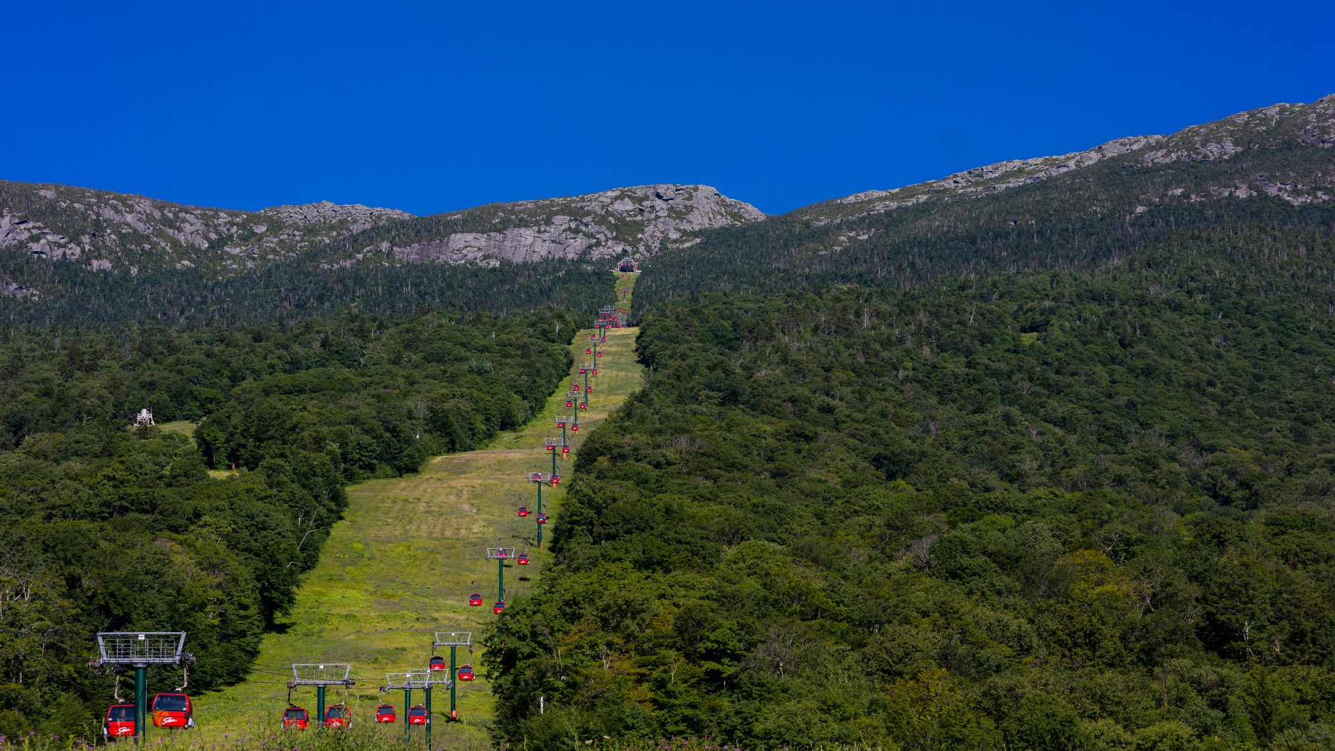
- From the historic village, take Route 108 north for approximately 7 miles to Stowe Mountain Resort. Purchase a Gondola Skyride ticket at the base of the iconic red Gondola, and enjoy the scenic ride to the top. The Cliff Trail can be accessed behind the Cliff House Restaurant at the top of the Gondola.
About the Hike
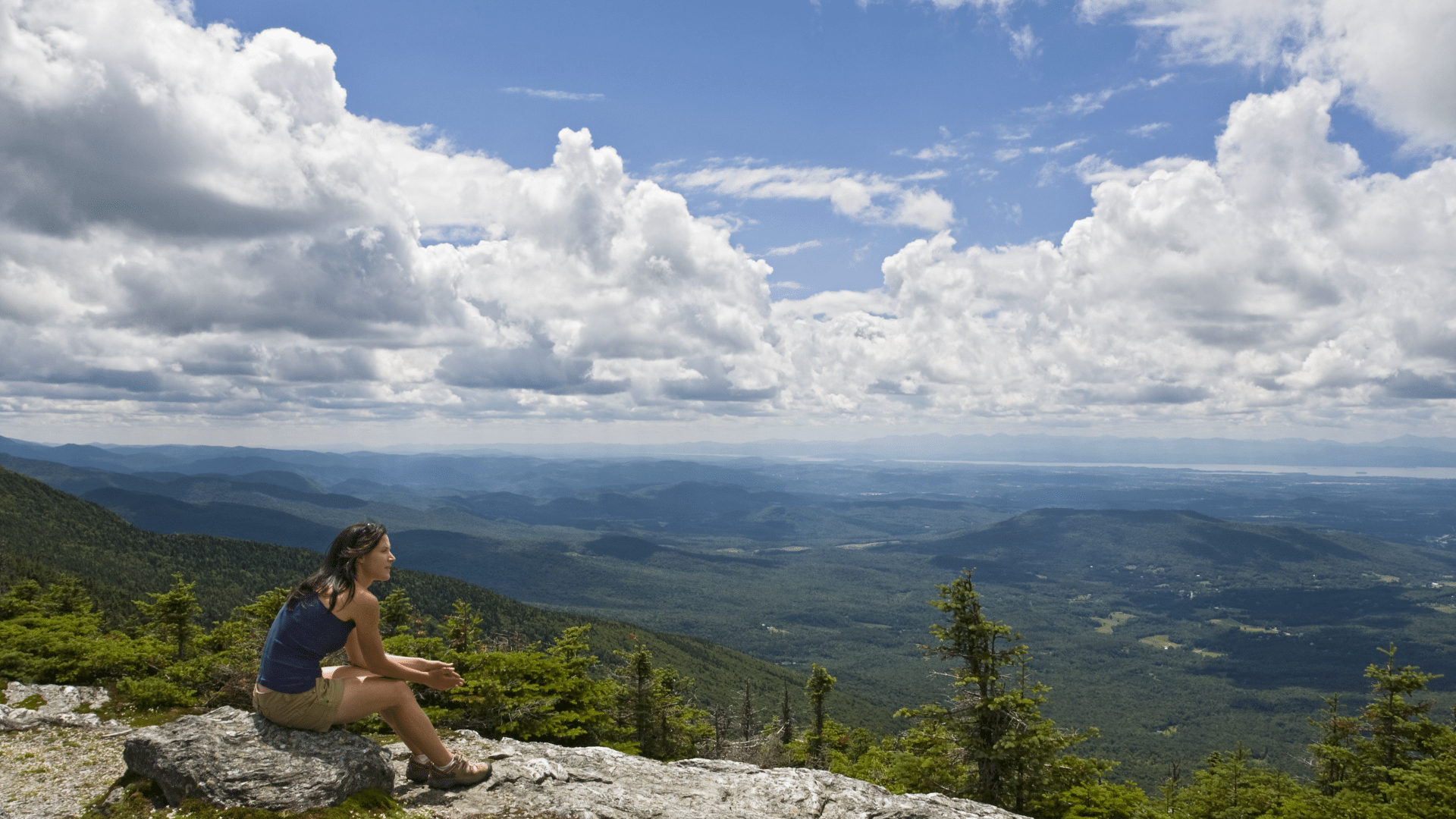
For those who wish to summit Mount Mansfield without hiking 2,800 feet of elevation from the mountain’s base, a ride up the Gondola combined with a Cliff Trail hike is a popular alternative. Riding Stowe Mountain Resort’s Gondola Skyride is a great way to get to the top of the ski resort to enjoy 180-degree views of Spruce Peak and the Worcester Mountain Range. From this point you are only about 750’ of elevation to the tallest point in Vermont, the “Chin” or summit of Mount Mansfield.
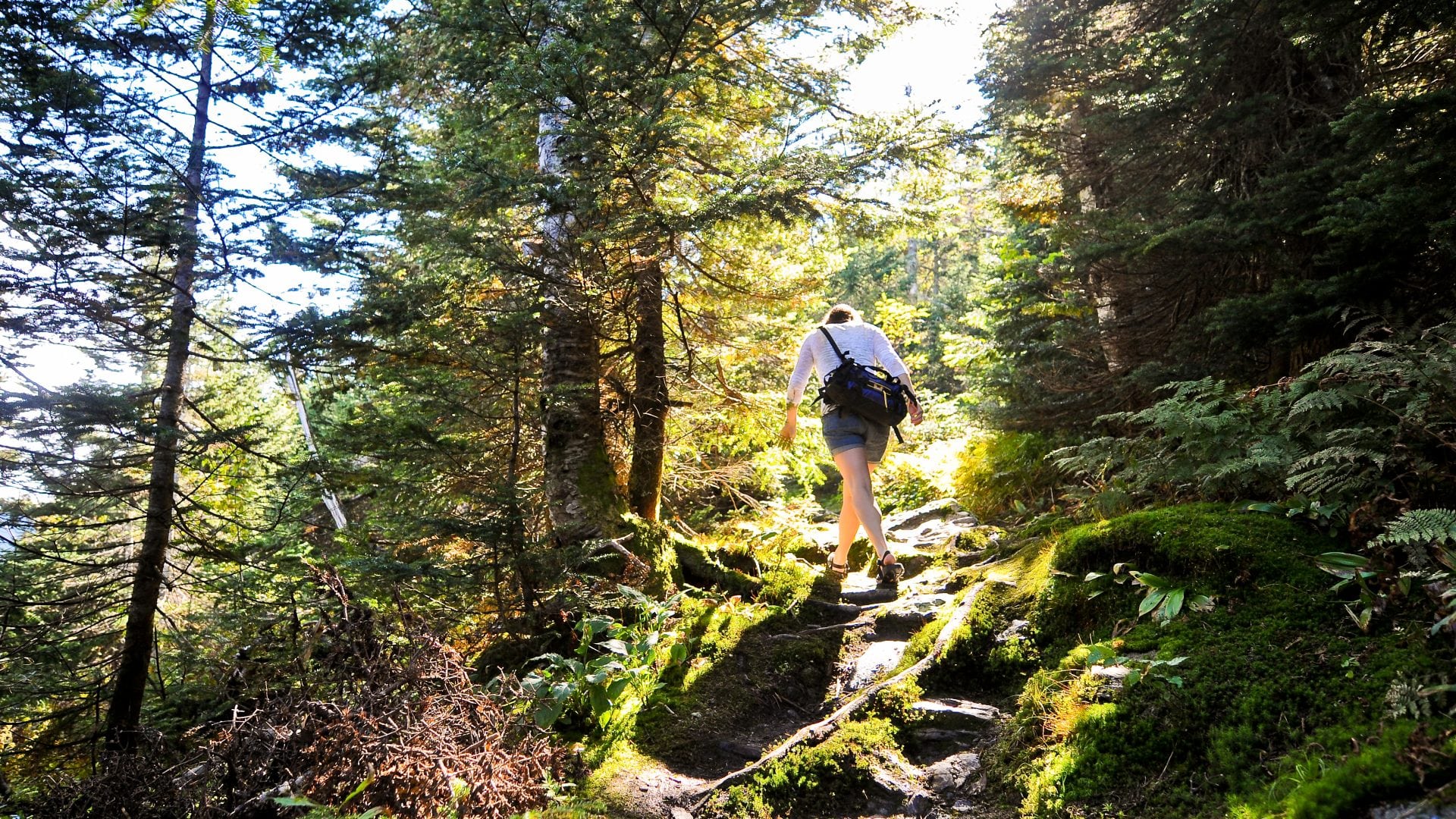
Although the trail itself is only 0.8 miles each way, it is an extremely challenging and technical climb and is one of the most difficult and potentially dangerous hikes on Mount Mansfield. This trail is recommended for expert hikers as there are slick, exposed rock faces, crossing deep rock crevices, and scrambling required. This trail is not recommended for families with young children.
The hike starts out and continues at a rather steep incline. Most of the hike is exposed and can be windy. The Cliff Trail runs all along the ridgeline from Amherst Trail (near the Nose) to its intersection with the Long Trail (close to the Chin). To access the summit, take a right and head north.
More challenging rock features include a steep climb requiring you to hoist your body up a tall rock slab. This area of the trail can bottleneck. Take your time and give others space to go up or down the face, and proceed when the climb is open. As you continue, wind up rocky sections, traverse rock faces over deep crevices, and pass through the Cave of the Winds. Note where you are once you reach the intersection of the Long Trail to make sure you return down the same trail. From here, continue a half-mile on the last rocky climb up the Long Trail to the Chin, the tallest point on Mount Mansfield and all of Vermont. Take photos, hang out, and enjoy the sweeping 360-degree views of Vermont’s famous Green Mountains all around you. As you make your way back down, be sure not to miss the left turn back onto Cliff Trail.
An alternative fast-track route to the Chin is driving up Stowe Mountain Resort’s Auto Toll Road to the parking lot on Mount Mansfield’s Nose, and traversing the ridgeline to the Chin. This hike is moderate difficulty with 360-degree views most of the way.
Additional Hiking Resources
Flip through the full Stowe Hiking Guide, download it to your device or continue to browse other local hikes.


