


Stowe-Area Hiking: Mt. Mansfield Chin via the Long Trail (South)
Hike Details
- Skill Level: Expert
- View Trail Map
- Type: Full-day hike
- Distance: 3.4 miles (Taft Lodge); 4.7 miles (Summit of Mt. Mansfield)
- Time: 4.0 hours (Taft Lodge); 5.0 hours (Summit of Mt. Mansfield)
- Climb: 2,790’ to the Chin
- Parking for Trailhead: 7416 Mountain Rd, Stowe, VT 05672. From the historic village, take Route 108 north for approximately 7 miles to Stowe Mountain Resort. The trailhead is about a half-mile north of the parking area on VT Route 108. This can be accessed either by walking north on Route 108, or by taking a scenic bypass on the Barnes Camp Loop, just past the historic visitor center maintained by the Green Mountain Club, for a beautiful close-up view of Smugglers’ Notch.
About the Hike
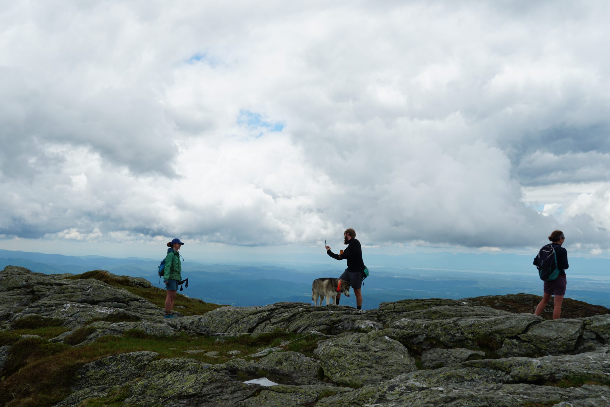
Mount Mansfield is Vermont’s tallest peak, and from a distance, its ridgeline resembles an elongated head from the east side with various facial features starting south to north, including: the Forehead, Nose, Chin and Adam’s Apple. Many of these features are referred to by hikers as they are higher-elevation peaks, with the Chin being the summit.
 The Long Trail South from Route 108 is the easiest way to summit Mount Mansfield from the Smugglers’ Notch side; however, it is a long and challenging hike. Having lots of water, snacks, a trail map, a first-aid kit and proper footwear is highly recommended..
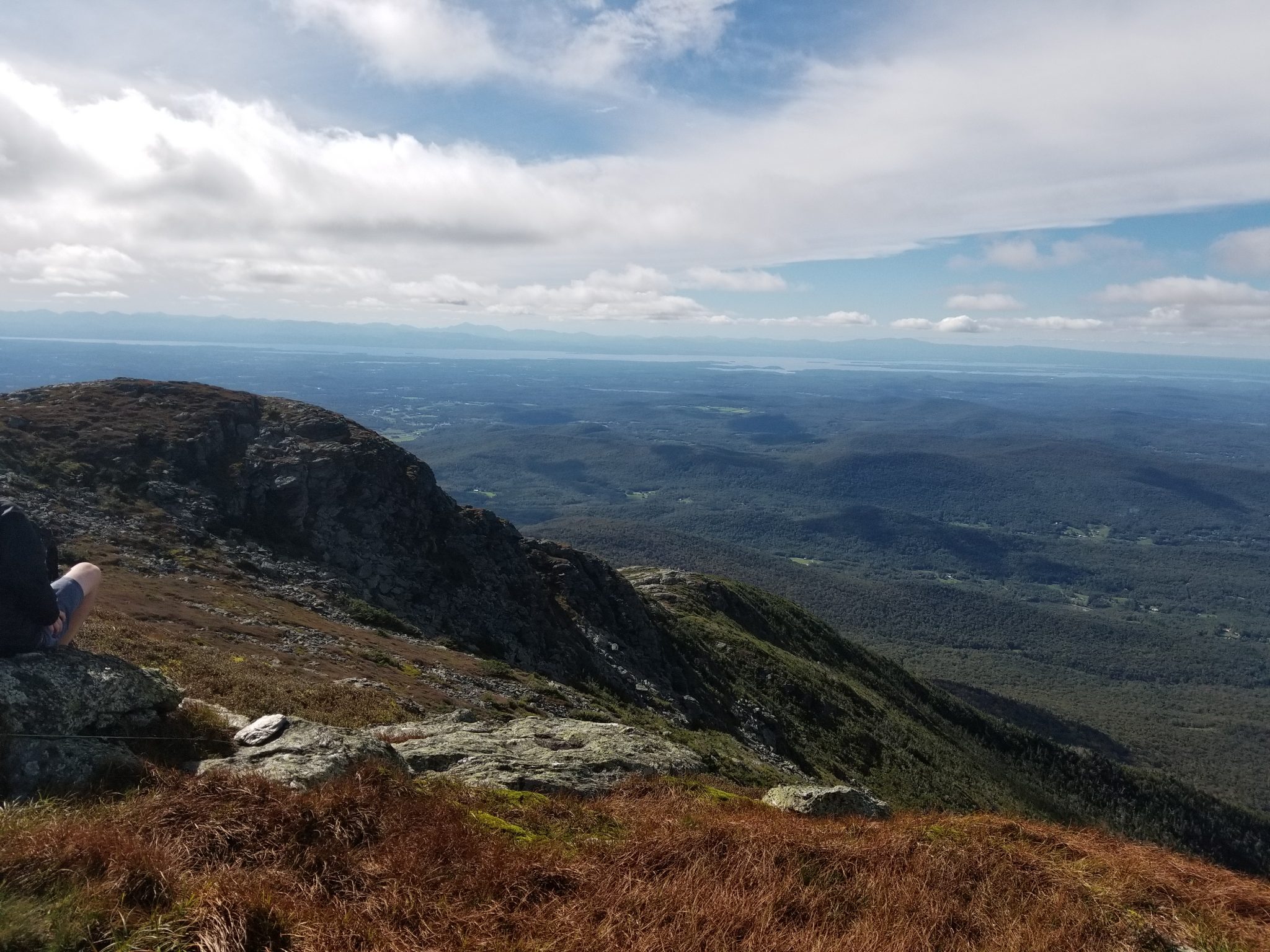
From the trailhead on Route 108, begin your hike through serene Vermont hardwood forest climbing up sets of stepping stones and roots. Although the trail starts with a casual incline, it climbs nearly 2,800 feet of elevation in a little over two miles. There are many steep and rocky sections where scrambling is required, especially near the summit.
 After 1.7 miles and just under 2,000 feet of climbing, you will reach the Taft Lodge, the oldest and largest shelter along the Long Trail, originally built in 1920. The trail continues and becomes rockier with many sections of rock slabs that can be slippery when wet. Further along, the Long Trail meets up with the Hell Brook Trail and the Adam’s Apple Trail, in a section which is moderately sheltered before proceeding above treeline.
The ridgeline climb along the Long Trail is the most difficult section of this hike. Make an abrupt left turn and ascend a few steep rock faces in exposed areas. Take your time on this section of difficult climbs as you make your way up the last short section of the trail to the Chin. Spend as much time at the summit as you like—enjoy a picnic with endless views—but keep a close eye on the weather and time. Weather patterns change quickly in Vermont, and it can be dangerous to be stuck at the top of the mountain in a storm or after dark. Seek storm shelters along the trail. Signs posted along the Long Trail provide guidance.
If you are looking for an easier way to the top, drive up the Auto Toll Road at Stowe Mountain Resort and hike the ridgeline from the parking area on the Nose to the Chin.
Additional Hiking Resources
Flip through the full Stowe Hiking Guide, download it to your device or continue to browse other local hikes.