


Stowe-Area Hiking: Kirchner Woods
Hike Details
- Skill Level: Easy
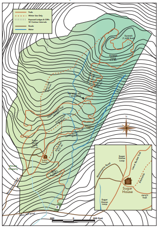
- View Trail Map
- Type: Woods walk
- Distance: 75 acres; 0.6 – 2.5 miles
- Time: < 1 hour
- Climb: Mostly flat, 380’ to the top of Summit Loop
- Trailhead Location: 1491-1311, Taber Hill Rd, Stowe, VT 05672. From the historic village, take School Street for about a half-mile. Bear left onto Taber Hill Road and continue for about 1.5 miles to the Kirchner Woods parking lot on the left.
About the Hike
The Kirchner Woods is a casual multi-use trail system under the cover of magnificent Sugar Maple trees, making it the perfect destination for leaf-peeping during the fall. This trail system is used primarily by hikers and trail runners, but is open to mountain biking (lower section only) and cross-country skiers and snowshoers (on designated trails) as well.
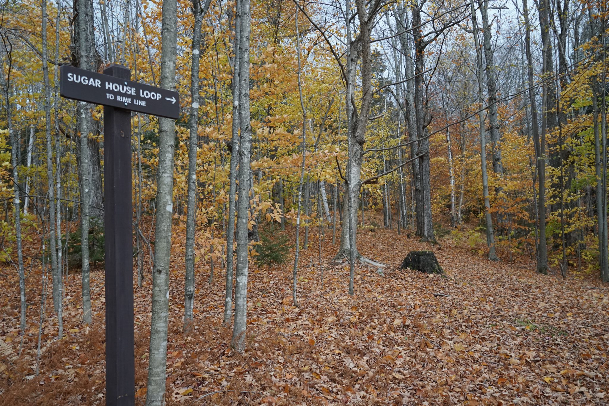
From the parking area, hikers will start out on Jerry’s trail, a wide path of crushed rock which extends a quarter-mile, ending at an old Sugar House which was in active production until the early 1990’s. Remnants of steel, pipeline and dumping stations used for collecting maple sap, in addition to neatly stacked galvanized buckets, can be found in many locations on the lower elevations of the property near the sugar house.
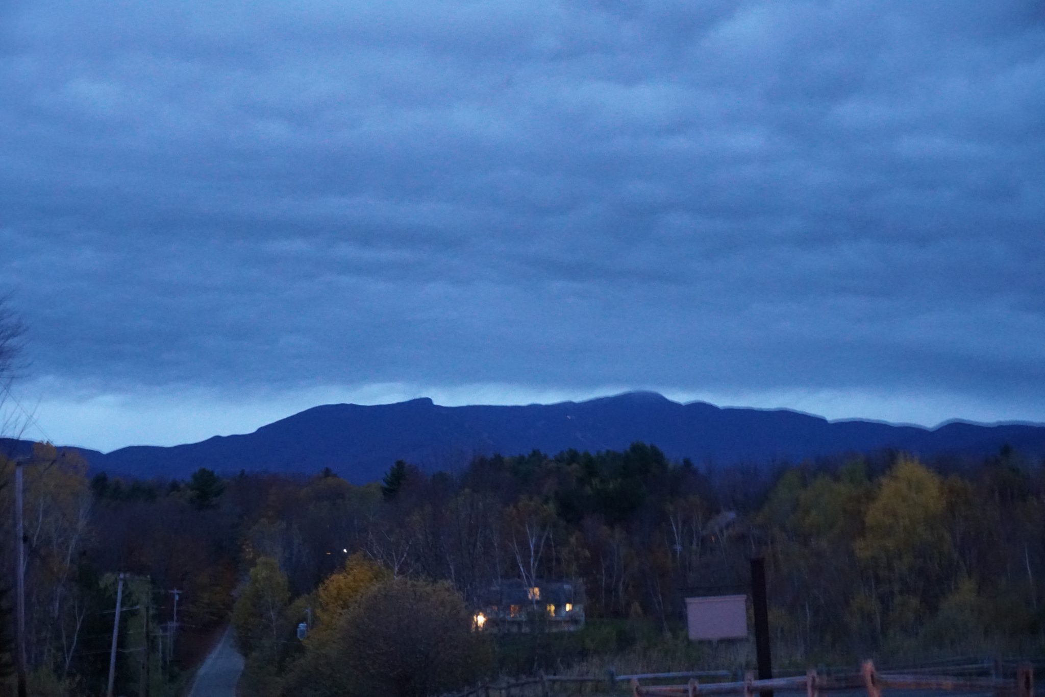
From the Sugar House, the hikers can choose to take the Sugar House Loop (0.3-mile loop) for a shorter hike with minimal incline, or head to the summit via the Lower Bucket Trail (0.3-mile trail) leading uphill. To reach the Summit Loop trail, hike to the end of Lower Bucket and take a right onto Maple Rise (0.2 miles). As the elevation increases, you will find more young red spruce trees among the sugar maple and hemlocks. The summit sits at 1580’, which makes the total climb about 380’ from the base, and features distant views through trees to the northwest of the Green Mountains.
Trail Map
Additional Hiking Resources
Flip through the full Stowe Hiking Guide, download it to your device or continue to browse other local hikes.