Stowe-Area Hiking: Cady Hill Forest
Hike Details
- Skill Level: Easy
- Type: Woods walk
- Distance: 258 acres; 11.0 miles
- Time: 1 – 5 hours, depending on trails taken
- Climb: 300’ – 1,500’
- Trailhead Location: Mountain Road, Stowe, VT 05672
- There are two parking areas used to access the Cady Hill Forest. For access from Mountain Road (Vermont Route 108), turn onto Route 108 north from the historic village and continue about a mile to a parking lot on the left, across from the Springer-Miller office. For access from Waterbury-Stowe Road (Vermont Route 100), take route 100 South out of the historic village for about a half-mile. Turn right onto River Road and bear left after the bridge. Continue about a half-mile and turn right onto Cady Hill Road. There is a parking area about a half-mile up on the right. Access the trails at the end of Cady Hill Road.
About the Hike
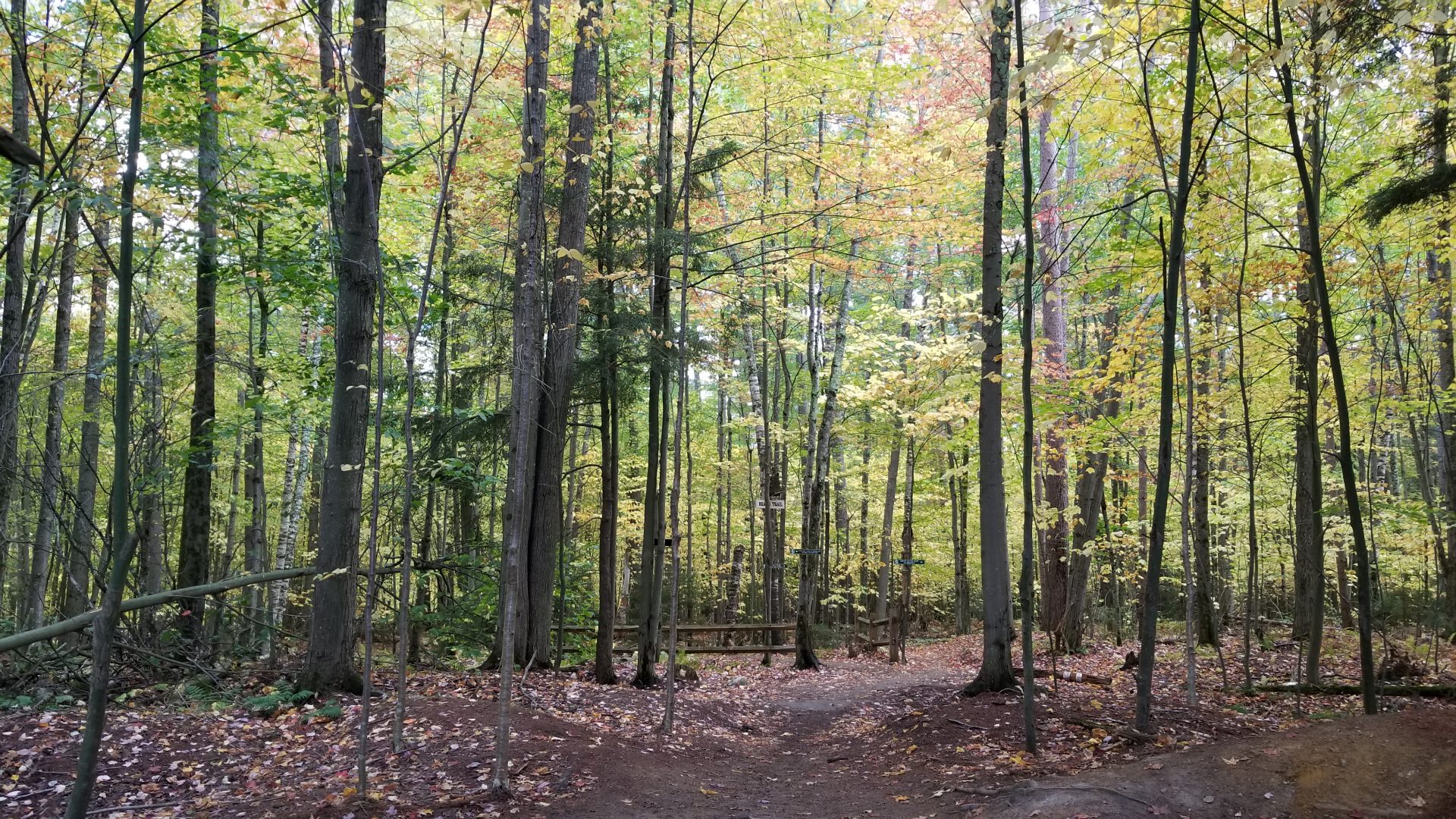
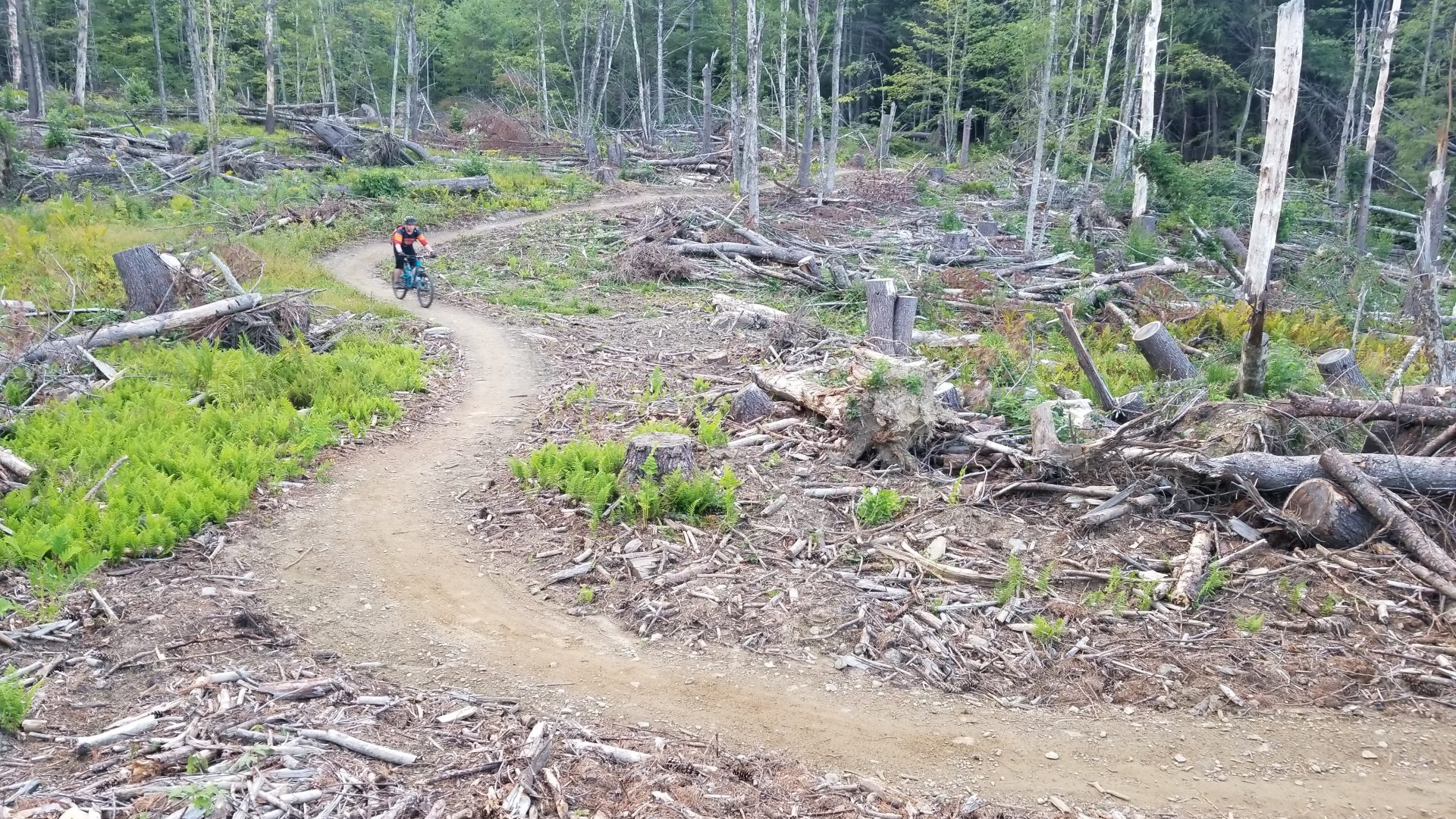
The Cady Hill Forest is one of Stowe’s most popular multi-use trail networks for mountain biking, trail running and hiking. This luscious trail system, conserved by the Stowe Land Trust and maintained by Stowe Trails Partnership, is well-known for its machine-built flowy trails and vibrant green growth, which many locals refer to as the “maple jungle.” While the Cady Hill trail network is highly pursued by mountain bikers all over the northeast, it is also used by many hikers and trail runners looking to enjoy peaceful trails surrounded by beautiful trees.

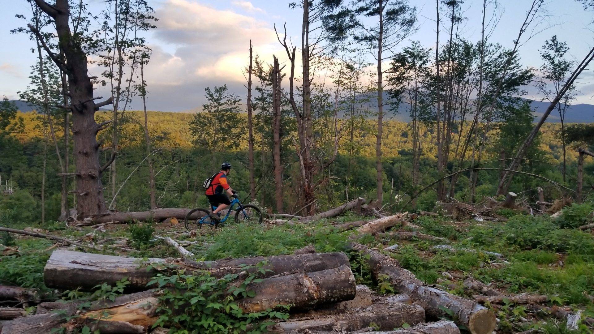
Although this trail system does not offer as many viewpoints as some of Stowe’s other more mountainous hikes, it has a popular vista viewpoint at the Green Chair overlooking Mount Mansfield. This view can be accessed from the Mountain Road parking lot via the Cady Hill Climb (one-way uphill). For a longer hike, take Sap Bucket to the Zog’s intersection and choose either a loop left along the Cady Hill Connector or a loop right out along the Eagle Ridge Loop. Both options eventually get you back to Bear’s. While trail maps are posted throughout the network, it’s also a good idea to download trail maps onto your phone. After exploring, take Bear’s (one-way downhill) to return to the Mountain Road parking lot.
Be aware, the Cady Hill trail network is frequented by mountain bikers, and certain trails like Florence, or “Flo,” are exclusively reserved for mountain biking due to their high-speed nature . Please follow directional signage for trails, some of which are one-way only, and adhere to all posted trail closures. If you see or hear a mountain biker approaching, proper trail etiquette is to move to the side of the trail and wait for them to pass. Mountain bikers will often indicate if more members of their party are following.
The Cady Hill Forest trail network is maintained by Stowe Trails Partnership, a local non-profit organization that builds, maintains and expands more than 35 miles of trails all over Stowe. Much of the work is done by local volunteers. If you enjoy the trail system, consider a Stowe Trails Partnership/Vermont Mountain Bike Association membership, which costs $49/year for an individual and $98/year for a family, or make a one-time donation at any denomination you wish.
Trail Map
Additional Hiking Resources
Flip through the full Stowe Hiking Guide, download it to your device or continue to browse other local hikes.


